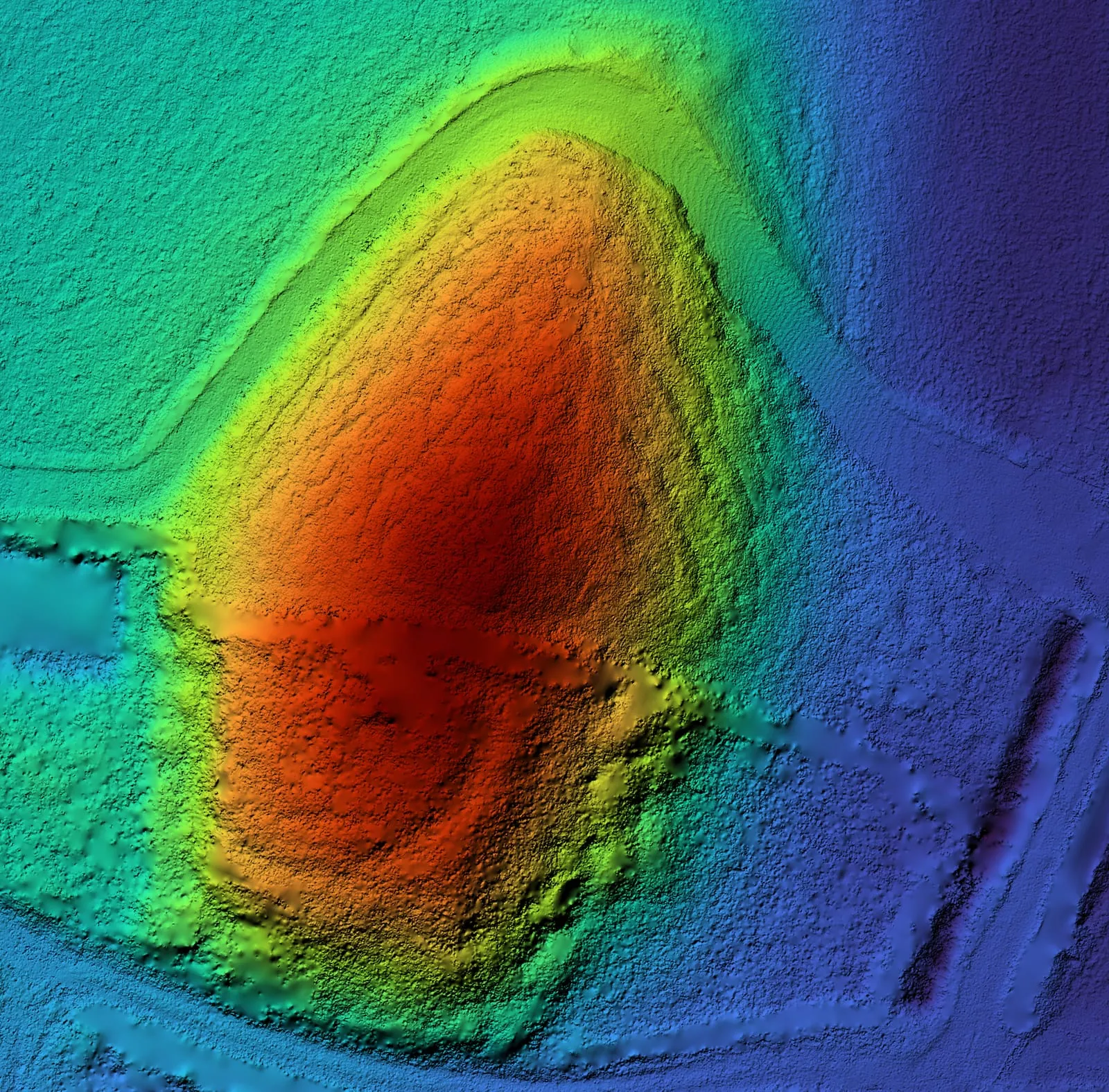
Aerial surveys / Industry
Archaeology
How it works
- FlyLiDAR, with extra angled passes where trees cover the site.
- Remove the plantsKeep only the laser pulses that reached the ground.
- ModelTerrain models, contours and cross-sections.
- MeasureThe length, height and volume of each feature.
What you get
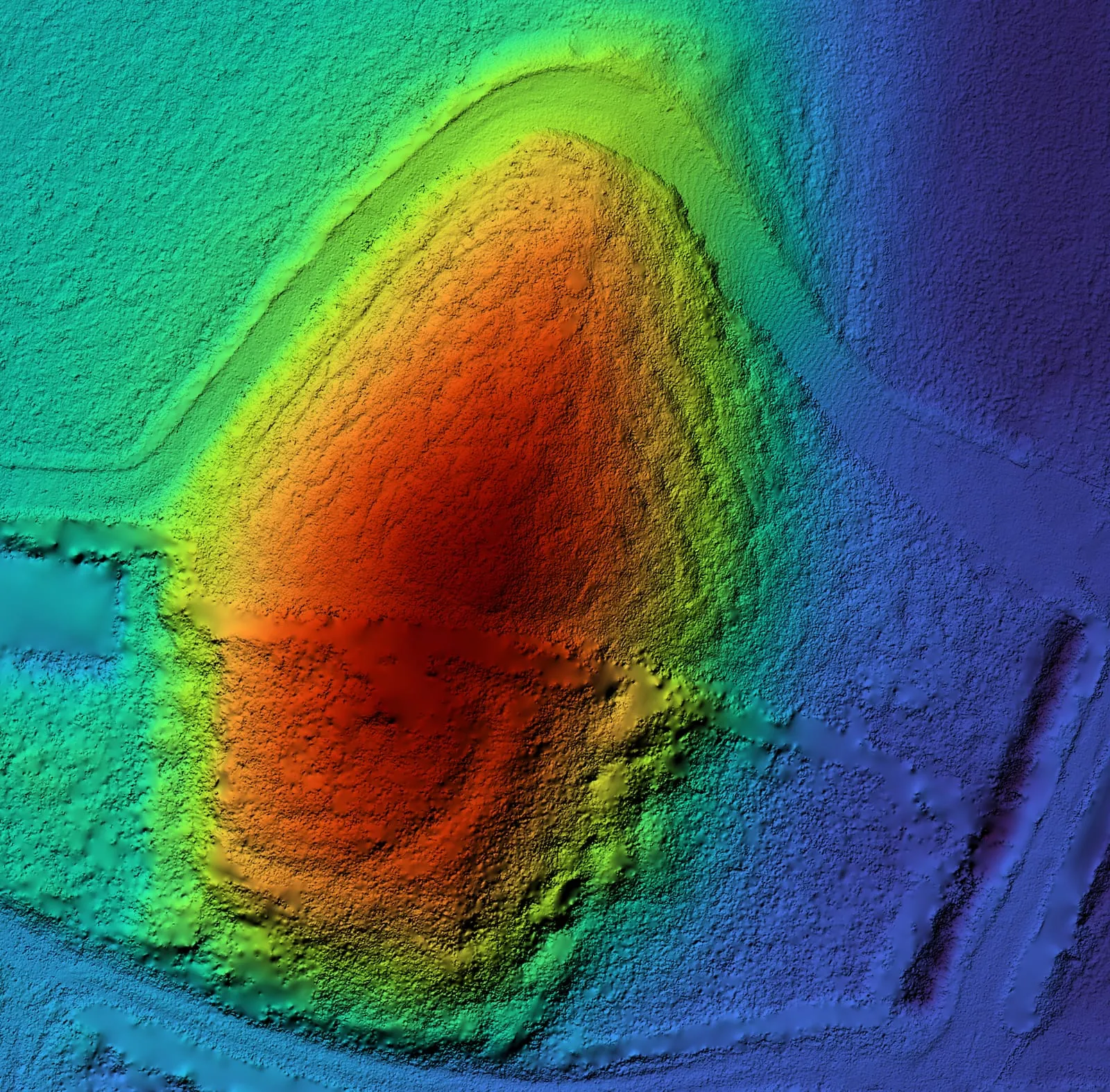
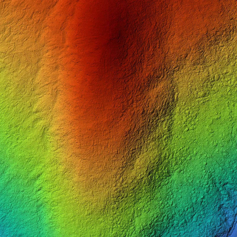 Terrain modelThe shape of the land, with the plants removed.
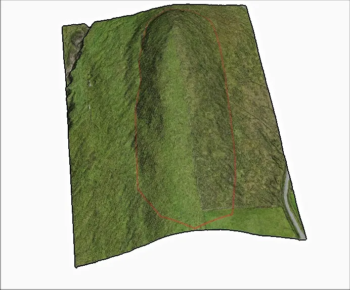 3D modelEach feature in 3D, with its base outlined.
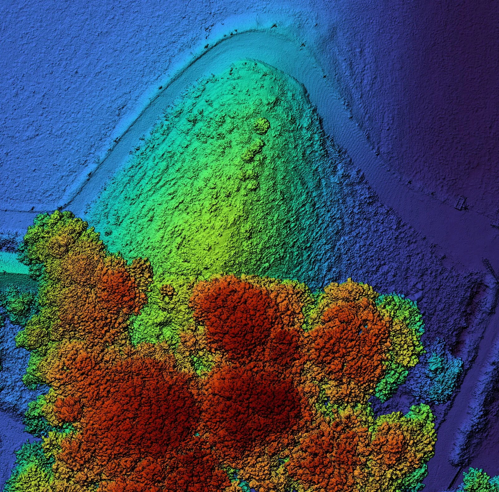
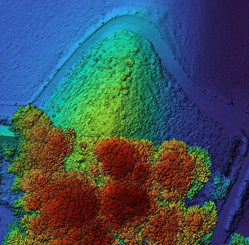 Surface modelThe ground with the trees still on it, to compare against.
- Contours and cross-sectionsLines of equal height, and slices through each feature.
- MeasurementsLength, height and volume of each feature.
- A lasting recordAn accurate record to guide future fieldwork.
Recent project: two mounds in Ireland
In 2025 a client asked us to survey two earth mounds in Ireland, to help find out whether they were made by people. Neither had been studied by archaeologists before. It is now the first detailed record of either mound.
Ask for a quote: mail@geoklein.com