About
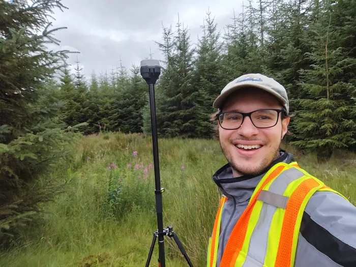
I'm Leonluca Klein, director of GeoKlein Ltd. GeoKlein is a consultancy in Edinburgh, Scotland, offering drone surveys and QGIS solutions.
I'm a geologist. I've worked in mineral exploration, geophysical surveying, geotechnical engineering and teaching. Now I focus on drone mapping and QGIS training, bringing digital tools into the industries where I began my career.
- Countries I’ve worked in: the UK, Canada, Honduras, Ireland and Portugal
- 5
- First taught QGIS, at the University of Edinburgh
- 2020
- Founded GeoKlein Ltd in Edinburgh
- 2024
Geology
A geologist by training (MEarthSci, University of Edinburgh), with fieldwork across Europe and North and Central America.
Drone survey
I fly LiDAR and photogrammetry surveys myself, on a DJI M350 RTK drone with a Zenmuse L2 sensor.
GIS & QField
I train teams and build custom QGIS and QField projects, from schools to exploration companies.
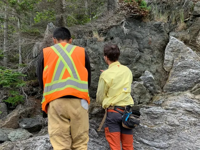
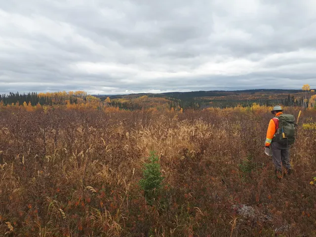
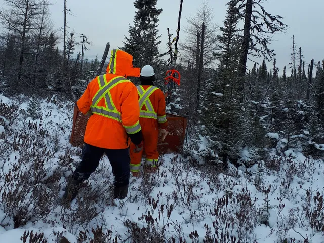
I first used QGIS for my mapping dissertation in the Helvetic Alps of Switzerland. In the field I mapped the structural geology with pencil, paper maps and a compass clinometer, the old-school way. When I came to digitise it all, and later saw how mineral exploration companies use QGIS and QField in the field, I realised how much more data I could have gathered. It also showed me how much many companies could gain from these free tools.
GeoKlein is where my passion for maps, geoscience and data comes together, from the drone survey to the QGIS and QField setup your team uses.
Where I've worked and studied
A locator map, not a navigational one, cropped from British Columbia to the Alps. Click a point to jump to that job, or click a place in the lists below to see it here.
Work
Jul 2024 to now
- Founded GeoKlein Ltd in March 2024. Sole director, based in Edinburgh.
- Drone LiDAR and photogrammetry surveys, from flight planning to processed deliverables.
- Quarry volumetrics and mineral exploration mapping.
- Developed an individual tree detection method from drone LiDAR, validated at an F1 score of about 0.94 in closed-canopy conifer plantation.
- Design custom QGIS and QField field-data systems, such as tree inspection for estates.
- QGIS and QField training for schools, universities and industry. Official QField partner.
- Develop QGIS plugins, including Raster Optimiser.
- CAA GVC holder and registered drone operator, with a PDRA01 operational authorisation.
Oct 2023 to Jul 2024
- Wrote reports and geo-environmental desk studies, and managed and supervised site work.
- Built QGIS projects, and a plan for moving the office’s everyday work onto QGIS.
Mar 2023 to Oct 2023
- Wrote reports and managed sites across Scotland, working with clients and contractors.
- Logged and sampled soil and rock core to British and European standards (BS 5930, Eurocode 7).
- Gave colleagues QGIS and QField tutorials.
Sep 2022 to Feb 2023
- Logged, tested and prospected on three projects: graphite at the Manicouagan Reservoir, lithium in pegmatite at James Bay, and niobium and tantalum near Chicoutimi.
Aug 2022 to Sep 2022
- Coordinated a geophysical study of an old tailings dam at the El Mochito mine, using a high-resolution IP resistivity survey to look for seepage and voids.
- Ran the survey equipment, delivered the data, and managed a crew of 6 to 12.
Apr 2022 to Jul 2022
- Mapped and prospected a gold project on New World Island, and processed structural data from the drill core.
- Ran the high-resolution IP resistivity survey that helped choose drill targets.
- Trained summer students in the field.
Oct 2021 to Nov 2021
- Cut and sampled gold-rich drill core, with quality checks (QA/QC) and RC rig sampling.
- Helped run drill sites at the Golden Horseshoe, in northern British Columbia.
Sep 2020 to Feb 2021
- Designed and gave tutorials for final-year mapping dissertations: final maps, cross-sections and models in QGIS and Inkscape.
- Taught lab practicals and online tutorials for Earth Dynamics, the introductory geology course.
Education
Sep 2016 to May 2021
- Bachelor and Master of Earth Science, including the exchange year and fieldwork below.
During my MEarthSci
- Mapped structural geology with pencil, paper and an analogue compass clinometer.
- The fieldwork behind my first QGIS project.
Aug 2018 to May 2019
- A year of geology and earth science.
Credentials
- Drone pilot, UK
- CAA General Visual Line of Sight Certificate (GVC)
- UK operator ID GBR-OP-TMFGH5WPWKX5
- Drone pilot, EU
- EU A1/A3 remote pilot certificate (open category)
- EU operator ID IRLgpjfn4o56rlx5, registered with the Irish Aviation Authority
- CAA authorisation
- Operational authorisation PDRA01
- Allows flights in built-up areas, under conditions set by the CAA
- Insurance
- £1 million public and product liability
- For commercial drone work in the UK, the EU, Norway and Switzerland
- Professional indemnity insurance on request
- Degree
- MEarthSci, University of Edinburgh
- Master of Earth Science
- Teaching
- Taught at the University of Edinburgh
- School of GeoSciences
- 13 of 14 students rated the 2025 session very useful

- QField
- Official QField partner
- The free field app for QGIS. We set up QField projects and forms for field teams.
- Languages
- EnglishNative
- GermanNative
- PortugueseBasic
- SpanishBasic