Industries
Pick your industry to see what you get.
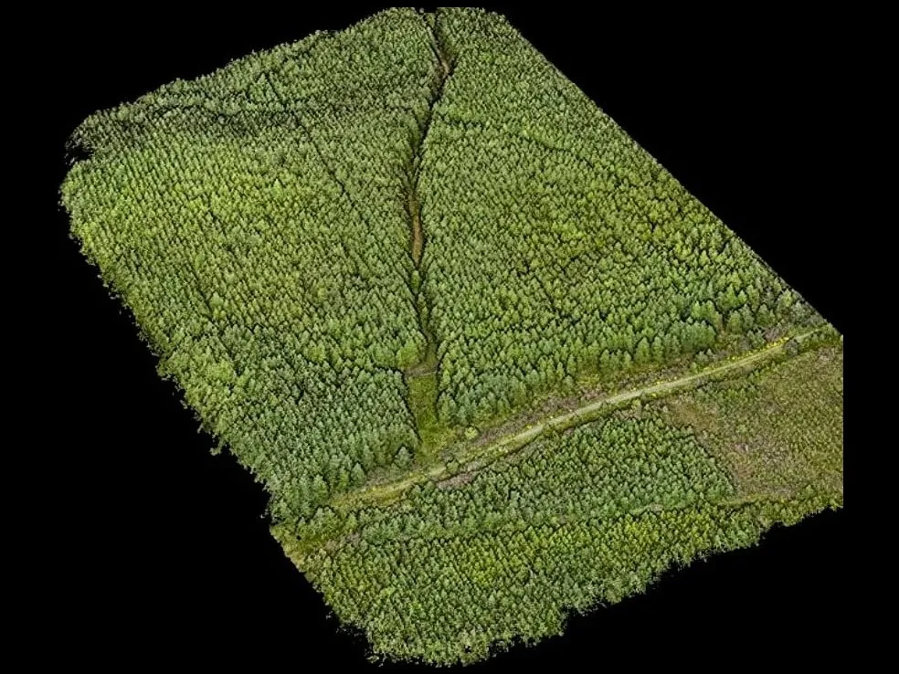 ForestryEvery tree found and measured, and invasive rhododendron mapped for clearance.
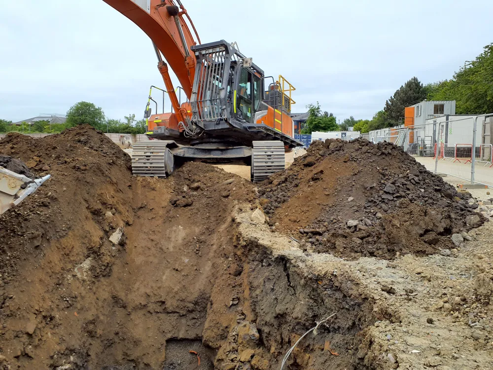 GeotechnicalUp-to-date ground models for design and earthworks, and rockfall maps of cliffs.
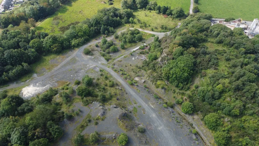 QuarriesStockpile volumes, cut and fill against plan, and haul-road condition.
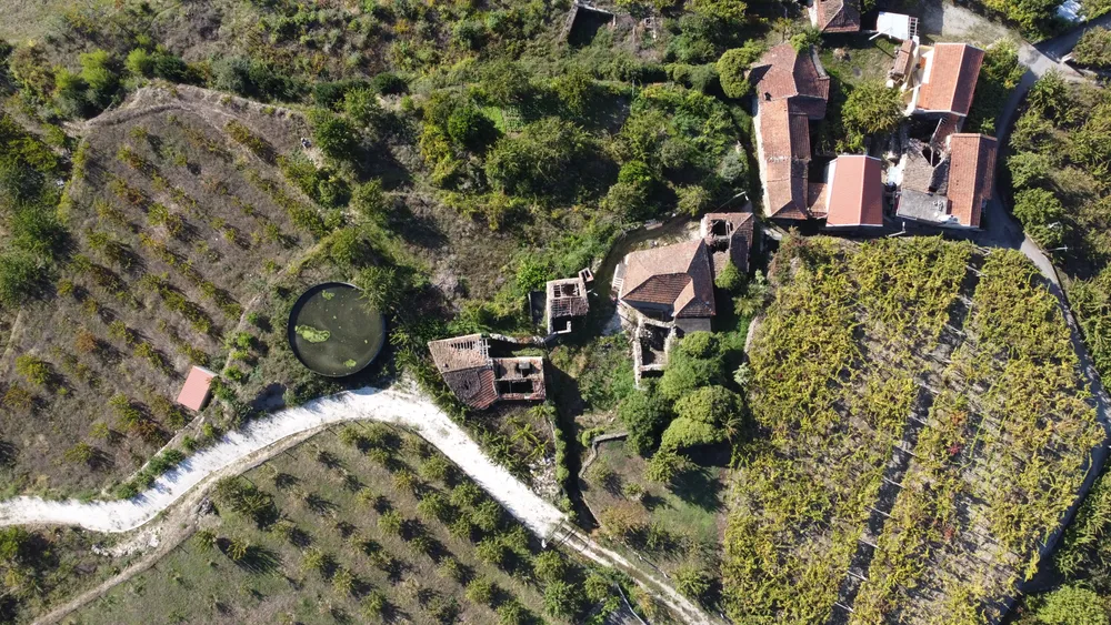 AgricultureWhere rain runs and pools, and how healthy the crop is, across the whole field.
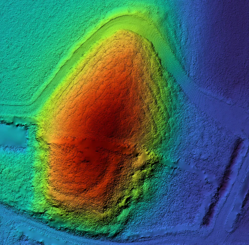 ArchaeologyLiDAR reveals mounds and earthworks hidden under trees and grass.
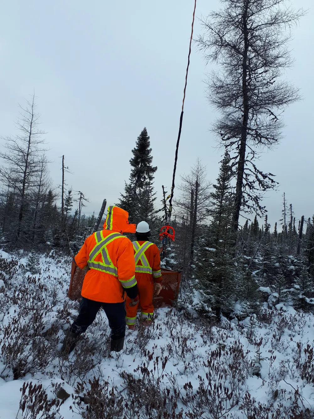 Mineral explorationA survey, maps and a QField project, so your team can start fieldwork.