Aerial surveys / Industry
Agriculture
How it works
- FlyLiDAR and photos over the fields or vineyard.
- Map the groundThe small dips and rises across every field.
- Model the waterWhere rain runs off, collects and floods.
- Plant healthA health index from the photos, or a multispectral survey.
- CompareWhether the weaker plants grow on wetter ground.
What you get
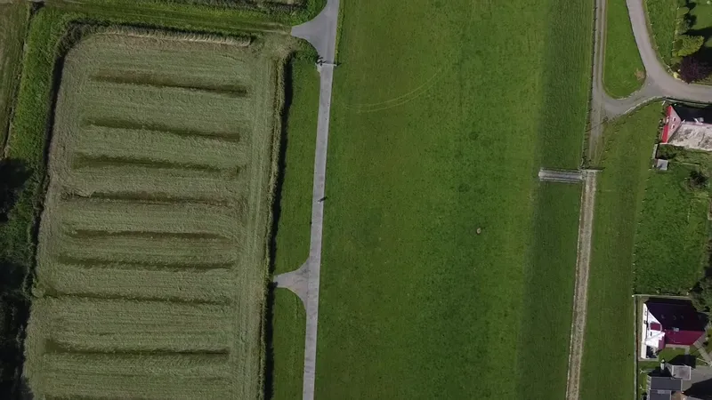 Ground modelA detailed model of the ground surface, field by field.
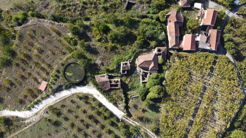 Water mapsWhere water flows, collects and floods.
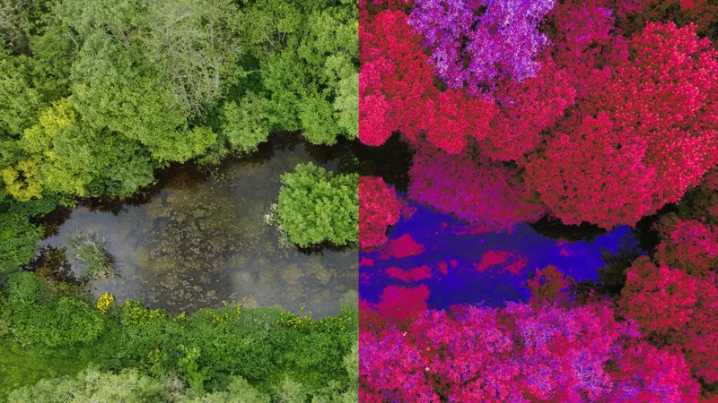 Plant health mapsHow healthy the plants are across each field.
Everything comes ready to use in QGIS or QField. For farmers, growers, vineyards and land managers.
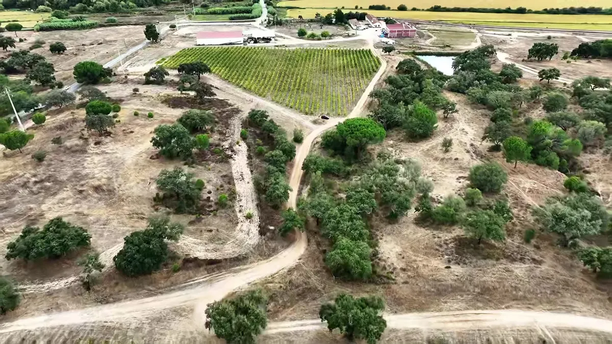
A vineyard in Portugal
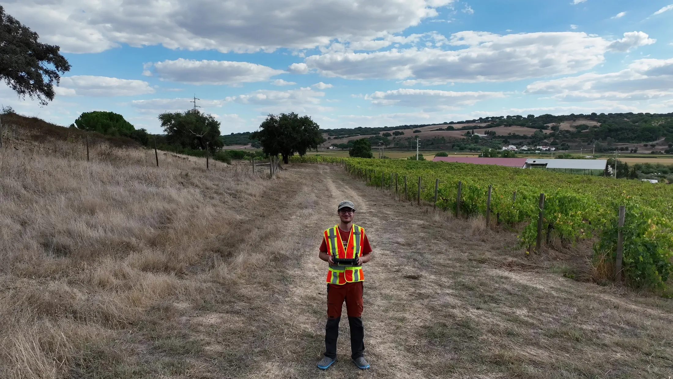
For a vineyard south-east of Lisbon, we combined a LiDAR survey with drone photos. We modelled rain run-off, pooling and flood risk, and worked out a plant health index for the vines from the photos alone.
Comparing the two shows the grower where to drain, feed or replant.
For woodland, including mapping invasive rhododendron, see forestry.
Ask for a quote: mail@geoklein.com