QGIS & QField / Project setup
Custom QGIS & QField projects
How it works
- Your dataTell us what your team records, and send the data you already have.
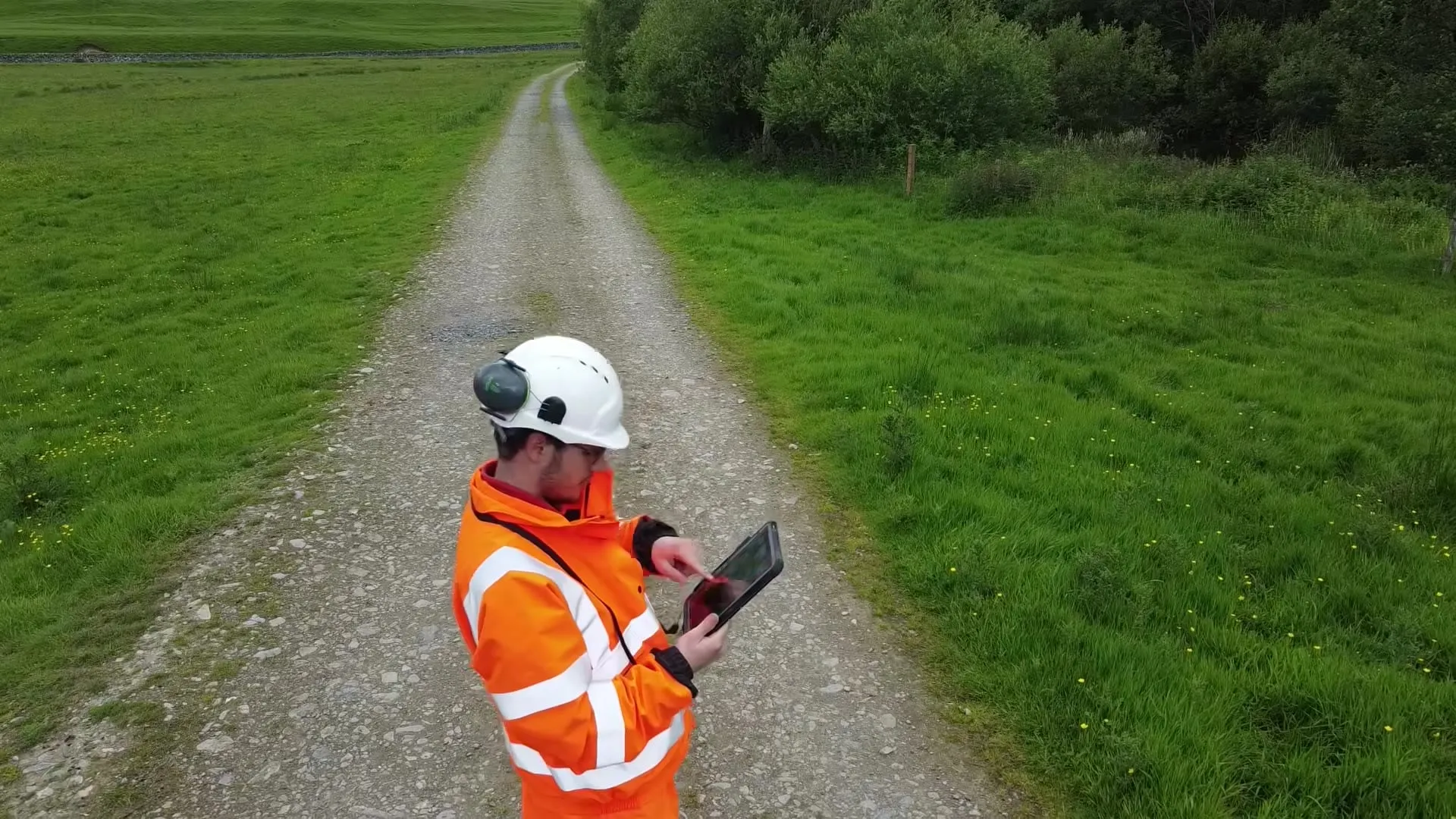
- QGIS projectWe set up and style a QGIS project around your data.
- QField formsForms for what your team records in the field, with set lists and photos.
- HandoverWe train your team, so they can run it themselves.
What you get
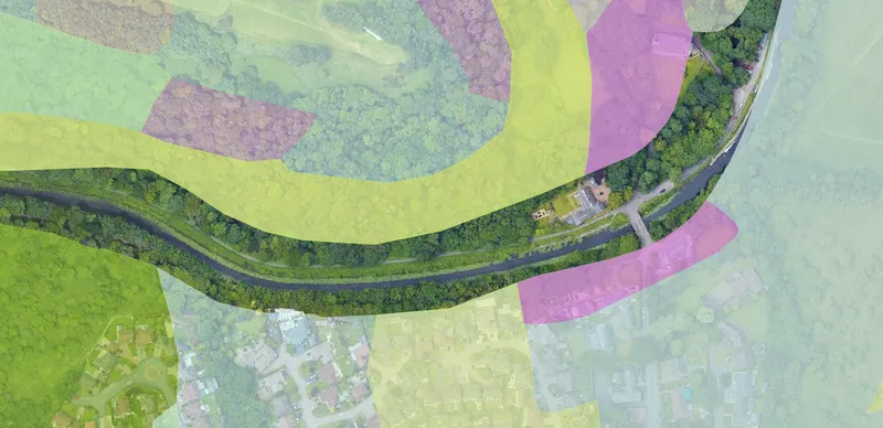 A QGIS projectYour data arranged and styled, ready to open.
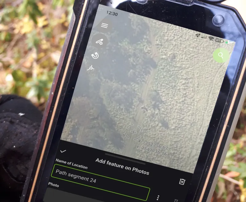 QField formsOn your team’s phones, working offline.
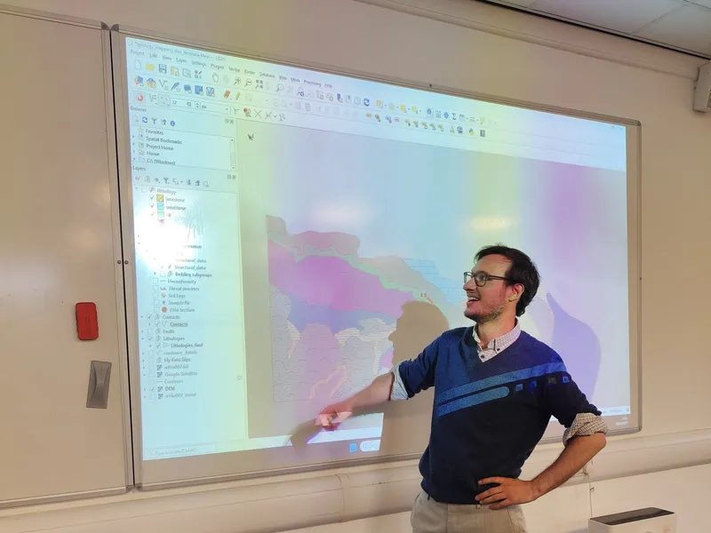 TrainingYour team learns to run it themselves.
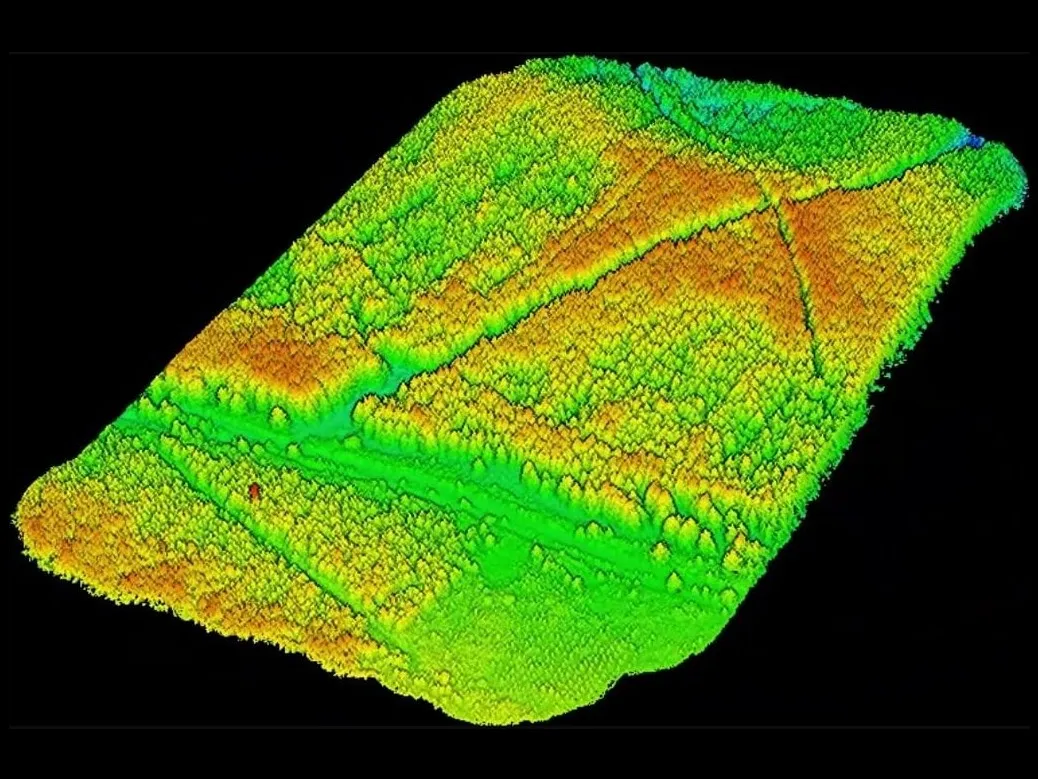
Tree inspection on a 20-hectare estate
We surveyed a 20-hectare estate by drone LiDAR, which gave every tree its position, height and crown size. On top of the survey we designed a QField system for keeping track of the trees.
To log a cracked limb or storm damage, a gardener taps the tree, picks from set lists, and adds photos and a priority. It takes under a minute. Everything syncs into one database, and the head gardener sees on one map which trees need attention and which have been dealt with.
Other uses
The same approach works wherever a team records things in the field. We've built it for geological mapping, and for trial pits, drill collars and retaining structures. Forms can match the field names your other software expects, so logs import into tools like Openground without retyping.
No subscriptions are needed: QGIS and QField are free, and a small team can run everything offline. Larger teams that sync often can add QFieldCloud, a paid service.
Ask for a quote: mail@geoklein.com