Aerial surveys / Service
LiDAR surveys
What it is
LiDAR fires laser pulses at the ground and times how long they take to bounce back. Some pulses slip through gaps in the leaves, so it can map the true ground even under thick trees, which a camera alone can't do.
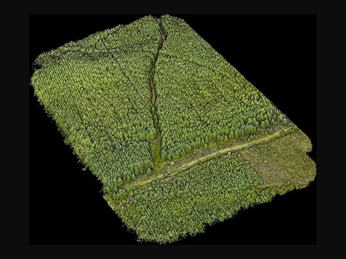
Each survey gives us a point cloud: millions of measured points in 3D space. We turn that into the models and maps below.
Who it's for
Anyone who needs an accurate ground model, especially on sites that are wooded, uneven or hard to reach on foot: land managers, engineers, foresters and exploration teams.
What you get
- A classified point cloud of the site
- Digital Elevation Models (DEM), Digital Terrain Models (DTM) and Digital Surface Models (DSM)
- Cross-sections and contours
- Volume calculations, for example cut and fill or stockpile estimation
- Forest inventory data (see forestry)
- Power line corridor mapping
LiDAR ground heights are usually accurate to better than 5 cm. On one of our quarry surveys, the ground model's absolute accuracy was 2.6 cm (RMSE), checked against GNSS-surveyed ground markers. That meets RICS Band E for ground levels, as set out in the RICS standard Measured surveys of land, buildings and utilities.
We aim to deliver the data and report within 1 to 2 weeks, depending on the size of the job.
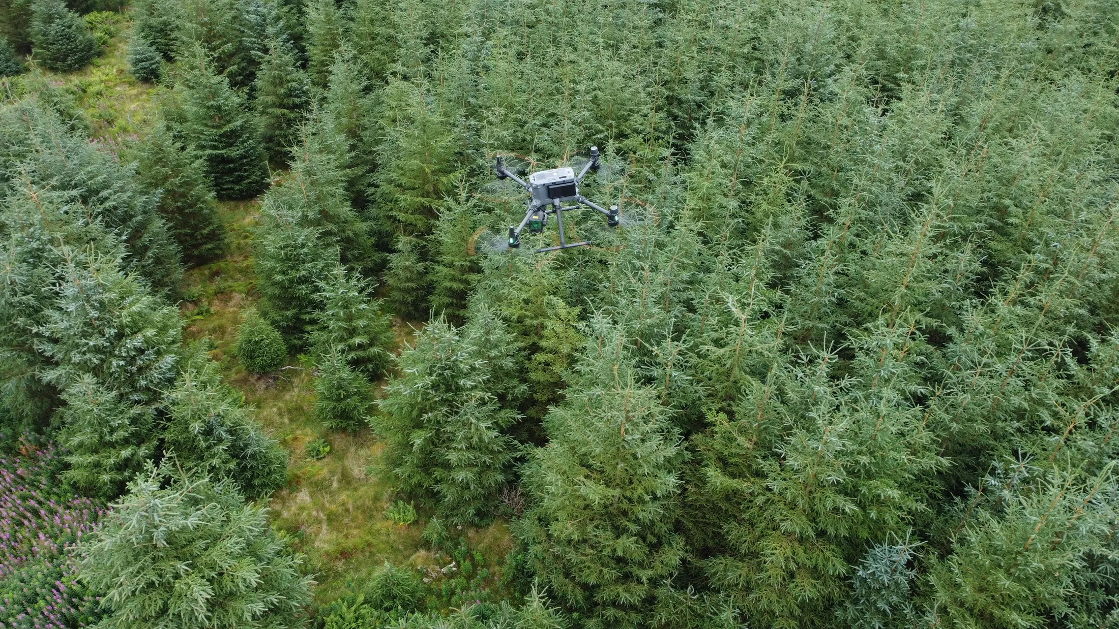
We fly this with a DJI M350 RTK drone and a Zenmuse L2 sensor.
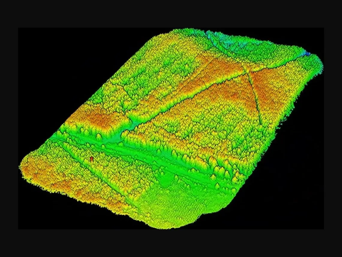
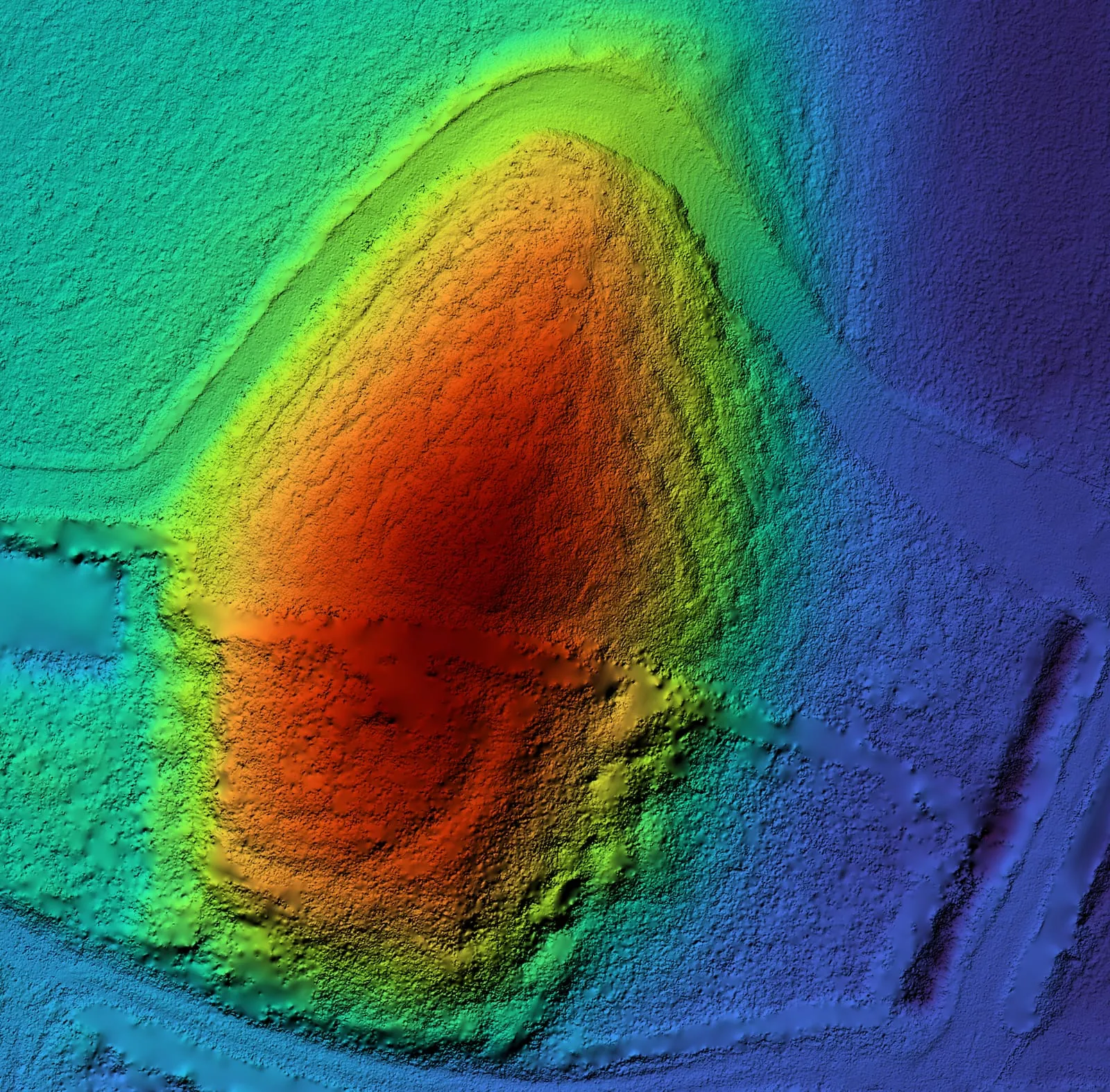
A mound under trees
Trees cover half of this mound in Ireland. Drag the handle to remove them. The full project is on our archaeology page.
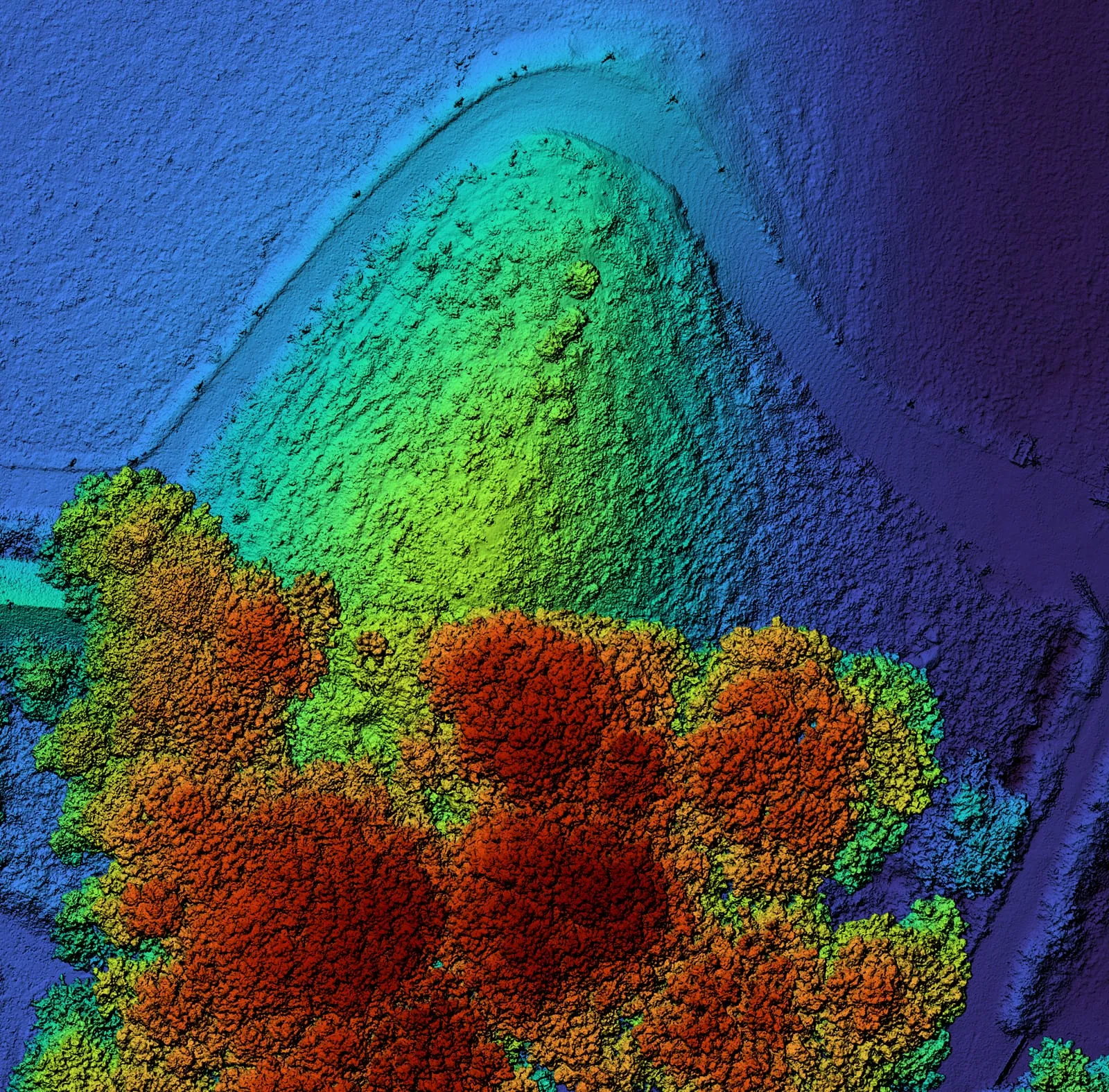
LiDAR or photogrammetry?
| LiDAR | Photogrammetry |
|---|---|
| Uncleared site with dense vegetation | Cleared site with sparse vegetation |
| Complex terrain | Photorealistic 3D models |
| Accurate ground models | Faster flight times |
| Most weather and lighting conditions | Map larger areas |
For photogrammetry, multispectral, thermal and the sensors we bring in through partners, see how we work.
Ask for a quote: mail@geoklein.com